Enhancing Public Understanding of Activists, Religion
(and Religious Activists!)
through the Geo+Digital-Humanities"
What is the point of the digital humanities?
We can learn in different and more in-depth ways through play
Digital engagement can be scaled to include two-way interaction, i.e. co-research
Digital tools can be multi-scalar and multi-dimensional, enabling shallow and deep interactions depending on interest and skill
Digital tools can be multi-scalar and multi-dimensional, enabling shallow and deep interactions depending on interest and skill
Let's recap:
Digital humanities =
playing around +
co-researching +
reaching lots of folks.
Community groups across Britain are doing amazing things to fix
The recession
Climate change
Donald trump
and while things look pretty hopeless from a birds-eye view
when you look more closely at communities across Britain you discover that amazing things are underway
Community level solutions are:
- innovative- impactful
- sustainable
...they're also invisible to our political and scholarly communities.
This visibility problem
impedes funding, collaboration, and multiplication
These groups desparately want to be visible!
And maps are a fantastic way
to communicate this significance visually.
And they know this - everyone has a map on their website
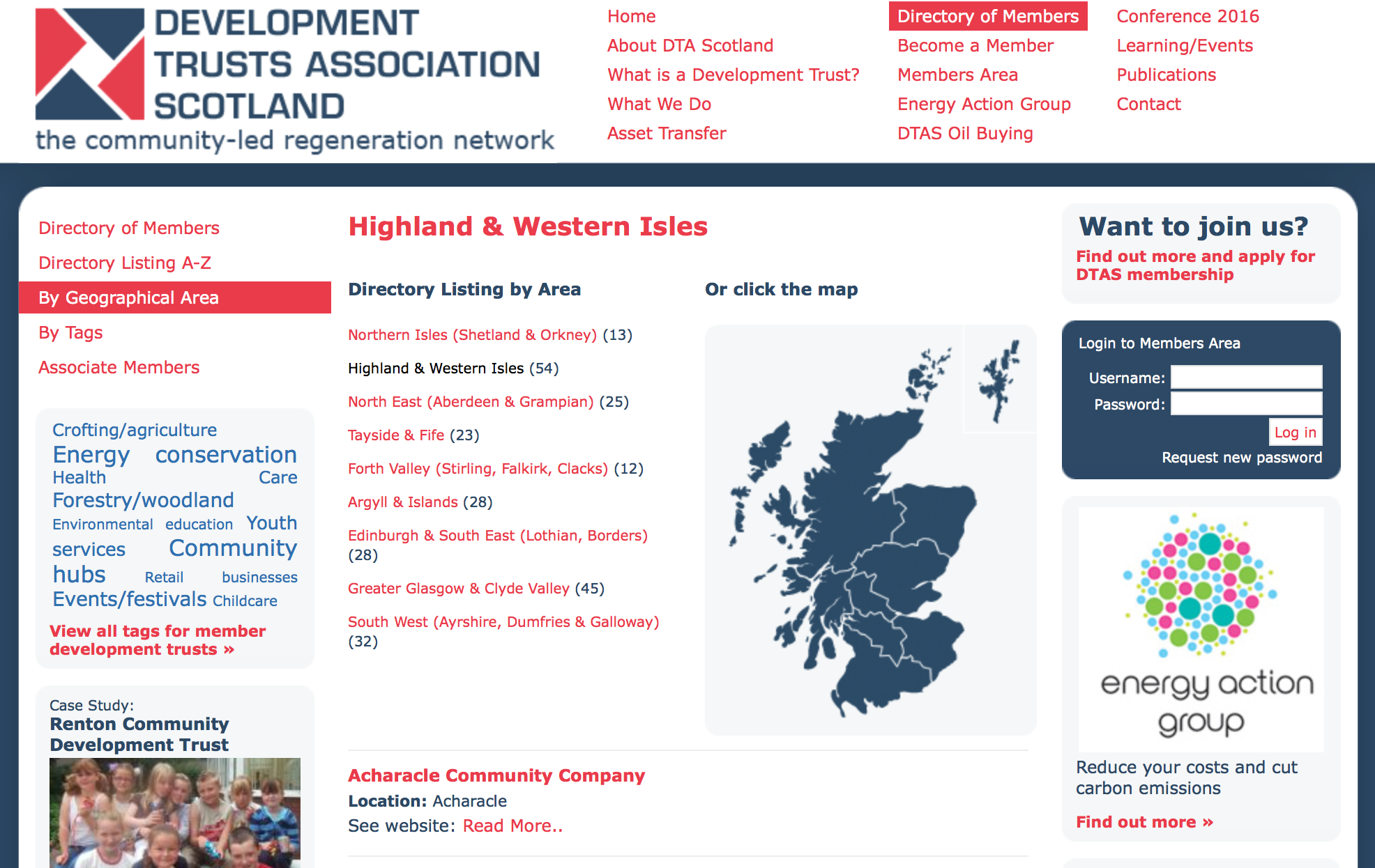
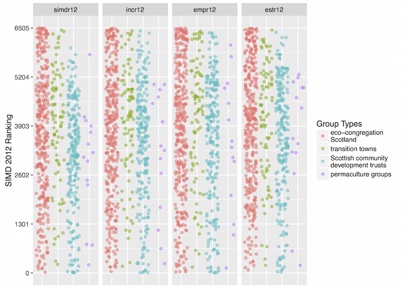
Development Trust Association Scotland
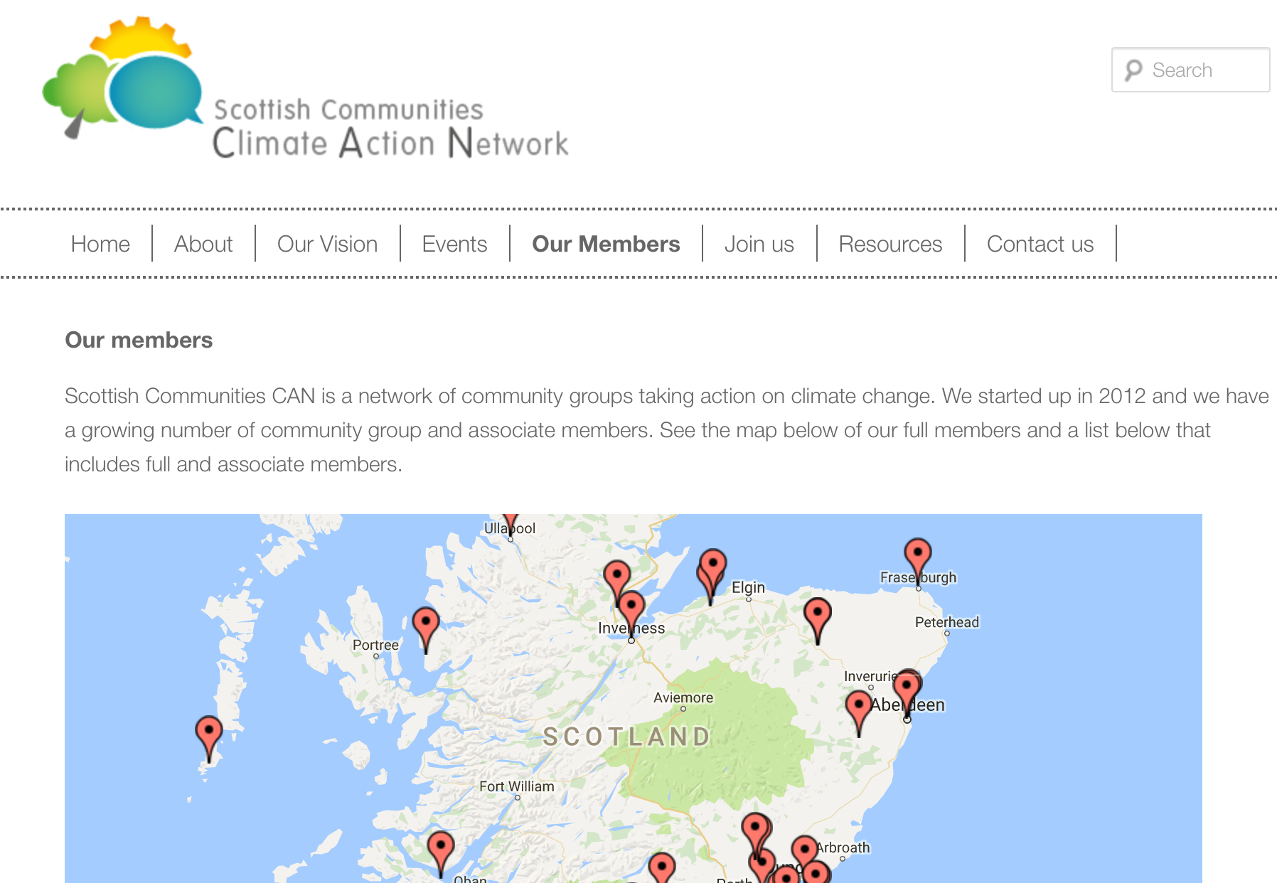
Scottish Communities Climate Action Network
Eco-Congregation Scotland
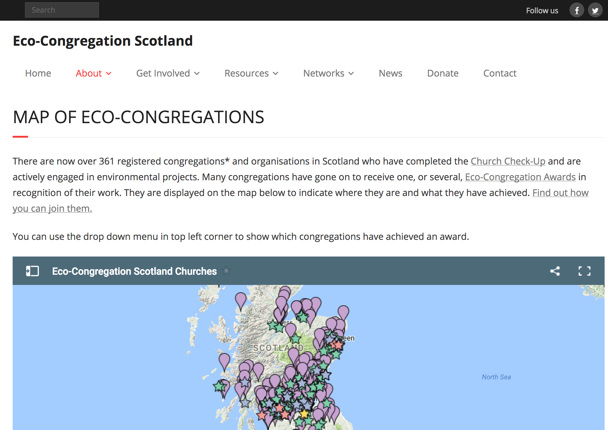
And these maps are all hosted by google.
This is a bad thing.
- The Google interface is user friendly
But in exchange for this "free" service, you agree to some pretty predatory Terms of Service
They can (and probably will) cancel your service at any time without warning
You get no analytics
And the data is stuck in a black box that doesn't interconnect
Let's recap:
Community groups are providing innovation and value
This is going un-noticed
and lack of knowledge impedes funding and collaboration
We can address this problem cartographically
But our options stink
Digital Humanities to the rescue!
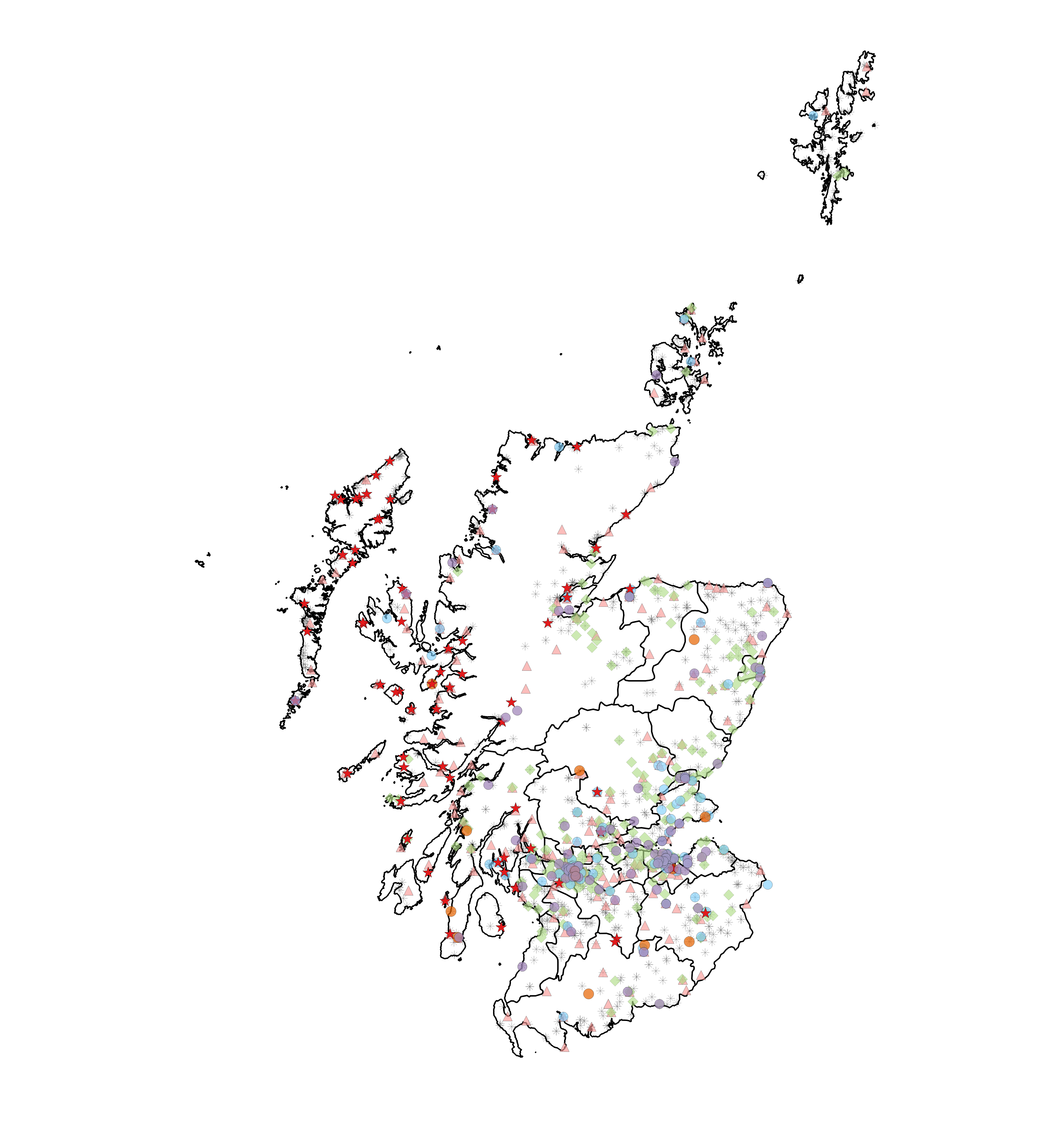
Let me introduce you to the (AHRC funded) Mapping Community project
The University of Birmingham now hosts a "spatial intelligence" platform
This enables community groups (co-researchers!) to maintain a live database of their networks
That database is the back-end for a map
open data is more sustainable and can be re-used by other social policy researchers
we can help groups to find new local cross-network collaborations
The map provides a sandbox where we can find new alliances, new research partnerships and generate more accurate data!